Gatineau's position along the Ottawa River and its proximity to the Canadian Shield means residual soils here are shallow, often directly over weathered gneiss or marble. These soils result from in-situ bedrock weathering, preserving relict structures that behave very differently from transported sediments. The region's freeze-thaw cycles further break down the upper profile, creating a heterogeneous mix of silt, sand, and clay-sized particles. For any project in Gatineau, understanding the actual bearing capacity and collapse potential requires a site-specific residual soil characterization rather than relying on regional tables. Before designing shallow foundations, we integrate results from an unconfined compression test to assess intact strength, and a triaxial test to define shear parameters under drained conditions.
Residual soils in Gatineau retain relict joints and root voids that can trigger localized collapse if not identified during characterization.
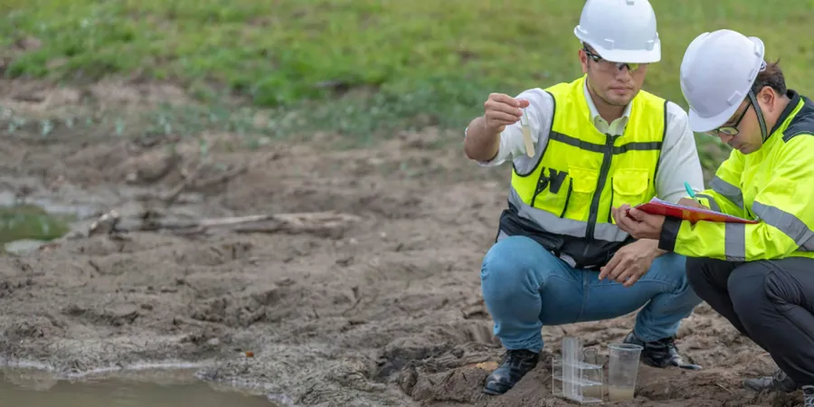
Scope of work in Gatineau
Typical technical challenges in Gatineau
Gatineau sits in a moderate seismic zone per NBCC 2020, with a PGA of 0.28g for the 2% in 50 years event. The risk with residual soils here is strain-softening: once the intact structure breaks, strength drops rapidly. A 2018 excavation failure on Boulevard Saint-Joseph occurred precisely because the residual soil's relict joints were not mapped, leading to a wedge slip after a rain event. Our characterization includes identifying these discontinuity planes before any cut exceeds 3 meters. The presence of corestones in the weathered profile also poses a risk to driven piles, often causing refusal at shallow depths and requiring pre-drilling.
Our services
We offer specialized services tailored to Gatineau's residual soil conditions, from field investigation to laboratory testing.
Residual Soil Profile Mapping
Detailed logging of weathering grades from grade I to V, identifying relict structures and corestones. Includes hand auger and test pit excavation to define the soil-rock transition.
Geotechnical Lab Characterization
Complete suite of index and strength tests: moisture content, Atterberg limits, grain size, odometer collapse potential, and triaxial compression on undisturbed samples.
Frequently asked questions
How does residual soil differ from glacial till in Gatineau?
Residual soil forms in place from bedrock weathering, retaining relict joints and root voids. Glacial till is transported, well-graded, and more homogeneous. In Gatineau, residual profiles often show abrupt transitions to weathered rock, whereas till is more uniform across depth.
What is the typical depth of residual soil in Gatineau?
Depths vary from less than 1 meter on hilltops to 6-8 meters in depressions. The average is 3 to 5 meters before reaching grade II weathered rock. Drilling deeper than 6 meters usually intersects competent gneiss or marble.
What tests are essential for residual soil characterization?
Visual classification per CFEM, Atterberg limits (CSA A23.2-2A), grain size (ASTM D6913), and odometer collapse testing. Triaxial testing under saturated conditions is recommended to capture post-rain strength loss.
How much does residual soil characterization cost in Gatineau?
Costs typically range between CA$970 and CA$4,060 depending on the number of borings, depths, and lab tests required. A basic characterization with visual classification and Atterberg limits is at the lower end; full profiles with triaxial testing are at the higher end.
Why is collapse potential important for Gatineau's residual soils?
Residual soils here have high porosity and can collapse when wetted under load, especially in areas with deep root channels. The odometer collapse test measures this risk directly, preventing differential settlement in foundations.