CFEM governs the visual-manual description of soils recovered from exploratory test pits. In Gatineau, the Ottawa River valley deposits include sensitive Leda clay and glacial till interbedded with sand lenses. Our team follows this standard to classify materials at every 0.3 m interval. The nearby Gatineau Hills introduce colluvial slopes that require careful logging. We combine this with a georradar survey to map buried boulders before excavation, and a placa de carga test when bearing capacity needs direct verification. Each pit reaches refusal at bedrock or below the water table, whichever comes first.
Sensitive Leda clay in Gatineau loses 80 % of its strength upon disturbance — a single test pit reveals it before any foundation load is applied.
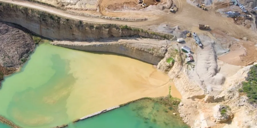
Scope of work in Gatineau
- Soil color (Munsell notation), moisture condition, and consistency.
- Presence of cobbles, organics, or groundwater seepage.
- Depth to bedrock or refusal.
Typical technical challenges in Gatineau
Sections of Gatineau near the Gatineau River have soft clay deposits that behave differently from the glacial tills found in the Hull sector. In the clay zones, an open test pit can collapse within minutes if the excavation is not shored. We use trench boxes and limit exposure time to 30 minutes per pit. The risk increases during spring thaw when pore pressures are highest. Our protocol includes daily water level monitoring and a standpipe installed in every second pit. This prevents misinterpretation of soil conditions in areas with perched water tables.
Our services
We provide four complementary field services that integrate with the exploratory test pit program:
Visual-Manual Soil Classification
Full lithological logging per CFEM including color, plasticity, grain size estimate, and consistency. Delivered as a pit log sheet with photographs.
In-Situ Strength Tests
Pocket penetrometer and Torvane readings taken at each 0.5 m interval on the pit wall. Results correlate with undrained shear strength for clay layers.
Bulk Sampling for Lab Index Tests
Disturbed samples collected from each soil stratum for water content, Atterberg limits (CSA A23.2-2A), and sieve analysis (ASTM D6913).
Groundwater Observation
Temporary standpipe installed in the pit backfill. Water level recorded after 24 h and at 7-day intervals to assess seasonal fluctuation.
Frequently asked questions
How deep can an exploratory test pit go in Gatineau?
Most pits reach 3.0 m depth. Bedrock in the Gatineau Hills can be as shallow as 1.5 m, while river valley clay may extend beyond 6 m. We stop at refusal or water table inflow that exceeds pump capacity.
What is the typical cost for an exploratory test pit in Gatineau?
The range is between CA$730 and CA$1.060 per pit, including excavation, logging, photography, and one bulk sample. The final price depends on depth, number of pits, and mobilization distance.
Do you need a permit to excavate test pits in Gatineau?
Yes. A municipal excavation permit is required for pits deeper than 1.2 m. We handle the application and coordinate with local utilities (Energir, Hydro-Quebec) for mark-out before any digging.
Can test pits replace boreholes for foundation design?
Not entirely. Test pits provide excellent visual stratigraphy and bulk samples, but they cannot measure N-values or vs30/" data-interlink="1">shear wave velocity. For multi-story buildings, we recommend combining pits with SPT boreholes (CSA A23.2-9A / CSA A23.2-9A / CSA A23.2-9A / CSA A23.2-9A / CSA A23.2-9A / ASTM D1586) to capture deeper soil profiles.